


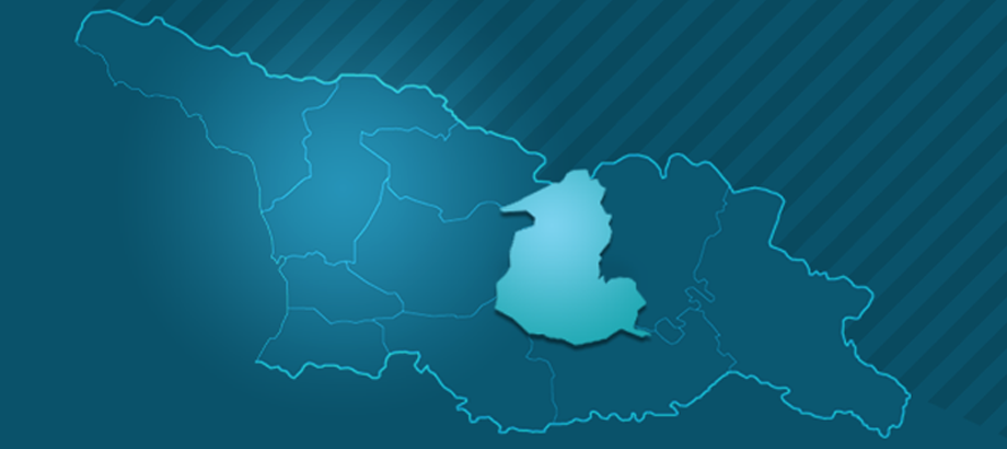
Shida Kartli region is surrounded by the Caucasus and Trialeti mountain range by the north and south. Rivers - Dzama, Tana, Tedzami and Kavtura create small pains on the ground. In the northern part of the region are valleys of Doghlauri, Tirifoni and Mukhrani. The majority of Shida Kartli Rivers are used for irrigation since the ancient times.
Kvernaki Hill is along the east side of the River Prone, There are caves on the south part of Kvernaki slope and the Valley of Ashuriani on the south, which is used for the winter pasture. The extensive lowlands of Shida Kartli and summer and winter pastures were the shape of cattle breeding development. Shida Kartli natural conditions and its geographic location identified the role that this region has in the history of Georgian statehood.
